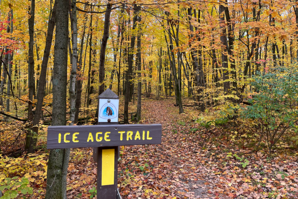
The nine-day gun deer hunting season (November 18 – 26, 2023) spans the Thanksgiving holiday, a time when friends and family gather. It’s natural to want to introduce your loved ones to the Ice Age Trail, yet safe hiking options are limited. Keeping this in mind, we have 21 hikes to share with you where deer hunting is not allowed. Most of these options take place in or near Ice Age Trail Communities and are a perfect blend of natural surroundings and urban amenities.
*Please make sure to double check our Hunting Closures Map prior to any hikes during November 18-26, 2023.
Self-Guided Hikes: Explore Our Trail Communities!
(Listed west to east)
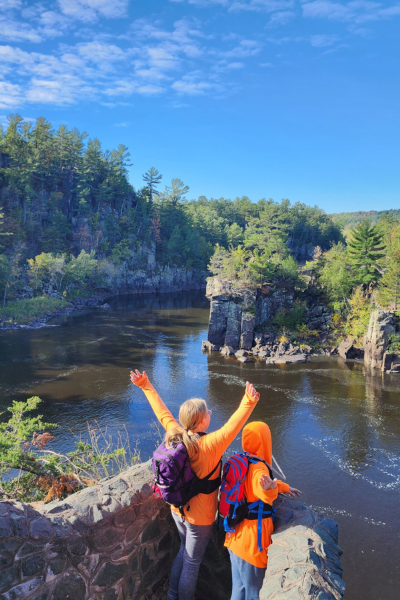
St. Croix Falls Segment (8.9 miles)
This hike highlights several outstanding features including the Dalles of St. Croix River, glacial potholes, and excellent views of the city of St. Croix Falls from the Hospital Esker.
See details of the St. Croix Falls Segment [Polk County] and the St. Croix Falls Trail Community Itinerary.
Cornell Segment (1.5 miles)
This segment travels along the edge of Mill Yard Park, home to a 175-foot former pulpwood stacker (active from 1912 until 1971) and Cornell’s Visitor Center. Enjoy Cornell’s small town charm as you hike past the local brewery, diners, coffee shops, and more.
See details of the Cornell Segment [Chippewa County] and the Cornell Trail Community Itinerary.
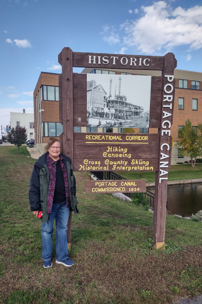
Portage Canal Segment (3.6 miles)
This segment showcases Portage’s unique geographic location on the narrow neck of land between the Fox and Wisconsin Rivers. Experience this historically significant area that was well traveled by Indigenous Peoples, French explorers, and fur trappers, especially during the mid-1800s.
See details of the Portage Segment [Northern Columbia County] and the Portage Trail Community Itinerary.
Baraboo Segment (4 miles)
View the Baraboo River as it flows beside a network of city parks while you hike through Baraboo’s vibrant downtown, home to various shops and restaurants.
See details of the Baraboo Segment [Sauk County] and the Baraboo Trail Community Itinerary.
Lodi Segment (2.2 miles)
This segment features a stroll across a 150-foot-long footbridge, its whimsical design based on the design of a 16th-century Chinese Rainbow Bridge. The segment ambles through Lodi’s historic downtown and weaves through charming parks and green spaces. Enjoy the quaint downtown of this proud Trail Community along the way. Please note: the Fern Glen and Lodi Marsh Segments are closed for hunting.
See details of the Lodi Segment [Southern Columbia County] and the Lodi Trail Community Itinerary.
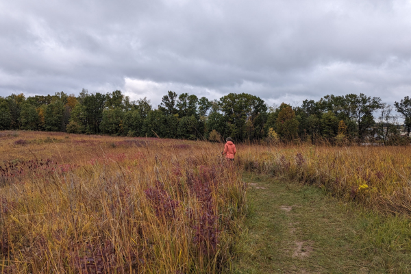
Valley View Segment (3.4 miles)
Situated on the terminal moraine, this segment features some of the finest examples of prairie and oak savannah restoration. If Black Friday is a clear day, hikers will be able to see Blue Mounds to the west.
See details of the Valley View Segment [Dane County] and the Verona Trail Community Itinerary.
Madison Segment (3.1 miles)
A large portion of this segment crosses the University Ridge Golf Course, which derives its name from the landscape features left by the last retreating glacier. Experience the terminal moraine and a large glacial drumlin during your hike.
See details of the Madison Segment [Dane County] and the Verona Trail Community Itinerary.
Verona Segment (4.9 miles excluding Prairie Moraine Park)
With about 200 acres of restored native prairie, the Verona Segment features open views of the surrounding landscape. There are numerous kiosks explaining the Ice Age Trail and Upper Sugar River Valley.
See details of the Verona Segment [Dane County] and the Verona Trail Community Itinerary.
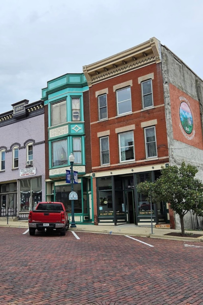
Evansville Segment (1.7 miles)
Explore this charming turn-of-the-century town as you walk along Main Street, featuring more than 300 properties listed on the National Register of Historic Places and reclaimed brick pavers.
See details of the Evansville Segment [Rock County].
Gibbs Lake Segment (1.3 miles)
Enjoy the tranquility of the 278-acre Gibbs Lake County Park, highlighting the 73-acre Gibbs Lake and quiet woods.
See details of the Gibbs Lake Segment [Rock County].
Arbor Ridge Segment (2.1 miles)
Traverse bedrock hills covered will till from glacial advances older than those explored by the Ice Age Trail. Cross through the Robert Cook Memorial Arboretum – Janesville Schools Outdoor Laboratory, which offers trailside signage with info about local trees and flora.
See details of the Arbor Ridge Segment [Rock County] and the Janesville Trail Community Itinerary.
Devil’s Staircase Segment (1.8 miles)
Connecting with the Janesville Segment, Devil’s Staircase features one of the more unique hikes in the state. For a good portion of this stretch, hikers parallel the Rock River and may witness the impressive work done by the Civilian Conservation Corps in the 1930s.
See details of the Devil’s Staircase Segment [Rock County] and the Janesville Trail Community Itinerary.
Janesville Segment (10.3 miles)
The southern gateway to the Ice Age Trail, and one of the largest communities found on the route. Along the way, hikers may enjoy numerous parks and educational opportunities. A portion of the hike will take you along the Rock River where lovely views of the river have been opened up during restoration work by the Rock County Chapter of the Ice Age Trail Alliance and partnering Boy Scout troops.
See details of the Janesville Segment [Rock County] and the Janesville Trail Community Itinerary.
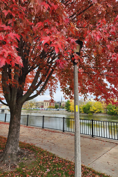
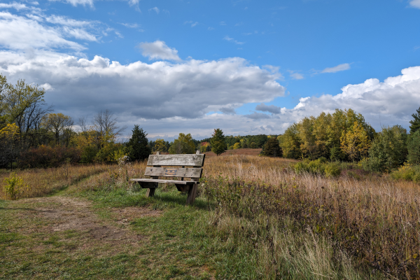
Lapham Peak Segment (~ 4 miles in Lapham Peak Unit – Kettle Moraine State Forest only)
Spanning 1,000 acres, Lapham Peak has numerous hiking paths to follow. Hunting is prohibited in Lapham Peak, however, wearing blaze orange is a good idea this time of year.
See details of the Lapham Peak Segment [Waukesha County] and the Delafield Trail Community Itinerary.
Delafield Segment (3.2 miles)
Located just a skip away from Hartland, hikers through the City of Delafield may pay tribute to Wisconsin soldiers at the Cushing Memorial Park and Wisconsin Veterans Memorial Riverwalk.
See details of the Delafield Segment [Waukesha County] and the Delafield Trail Community Itinerary.
Hartland Segment (6.8 miles)
This stretch follows the Bark River through downtown Hartland before heading south into the Hartland Marsh. Enjoy the perks of extensive restoration efforts in the Marsh before heading downtown for a bite to eat. Several establishments in this proud Trail Community have the Ice Age Trail logo on display. Be sure to let them know you’ve been out for a hike, it helps businesses appreciate the economic impact Trail enthusiasts have on their local economy.
See details of the Hartland Segment [Waukesha County] and the Hartland Trail Community Itinerary.
West Bend Segment (6.7 miles)
This urban hike strolls through impressive green-spaces at the edge of West Bend. Tromp across boardwalk spanning a water-filled kettle/wetland. Follow the Trail as it meanders alongside picturesque Silver Creek and hugs the ridge of a moraine, dipping between hills on its way to CTH-D.
See details of the West Bend Segment [Washington County] and the West Bend Trail Community Itinerary.
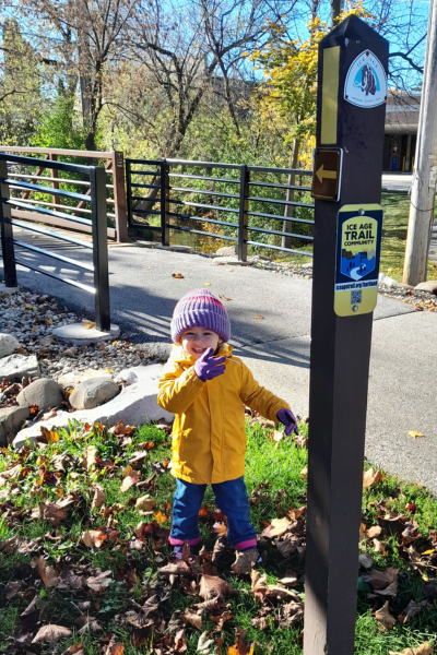
Walla Hi Segment (2.3 miles)
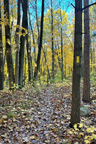
The Walla Hi Segment highlights the Walla Hi County Park (closed to hunting), which showcases a variety of glacial features including kettles, moraines, and erratics.
See details of the Walla Hi Segment [Manitowoc County].
Manitowoc Segment (7.5 miles)
This urban segment highlights the City of Manitowoc and its rich maritime history and includes a lengthy stretch along the shores of Lake Michigan.
See details of the Manitowoc Segment [Manitowoc County] and the Manitowoc-Two Rivers Trail Community Itinerary.
Two Rivers Segment (3 miles)
This segment travels through the charming community of Two Rivers including the buildings comprising the historic Rogers Street Fishing Village. Please note: the Dunes Segment is closed for hunting.
See details of the Two Rivers Segment [Manitowoc County] and the Manitowoc-Two Rivers Trail Community Itinerary.
Sturgeon Bay Segment (14 miles)
This segment offers hikers three widely varying experiences beginning with a rail-trail hike, a transition to an urban hike through a city with a rich cultural history, and then finishes with a quiet, forested trek through the Potawatomi State Park. Please know, hunting is allowed in Potawatomi.
See details of the Sturgeon Bay Segment [Door County] and the Sturgeon Bay Trail Community Itinerary.

Thank you for hiking responsibly during the Thanksgiving Holidays! Happy Trails!

Pingback: ICE AGE TRAIL: Walla Hi Segment 11.21.21 – tails from the trail