
- This event has passed.
Tuscobia Trail Fest – Superior Lobe Chapter
June 11, 2022 @ 7:30 am - 2:30 pm
You’re invited!
Join the Superior Lobe Chapter as they celebrate the Hulda Hilfiker* and the Tuscobia State Trail* (which hosts the Tuscobia Segment of the Ice Age National Scenic Trail) with a series of events:
 |
7:30 a.m. Let’s Wing It Birding HikeJoin Laura Sandstrom and Dave Greschner on an hour-long bird identification hike on the on the Tuscobia Segment of Ice Age Trail. Laura has identified over 103 species on this Trail. Dave, retired Chronotype Outdoor Editor is also a renowned area birder. Don’t forget your binoculars and camera! Event Location: Meet at the Tuscobia Trailhead on CTH-SS [map]. |
 |
10:00 a.m. History of the Tuscobia Park Falls LineArlyn Colby, railroad historian and author, will expand your understanding of the Line’s importance in shaping Barron County. A book signing will follow the question and answer period. Event Location: UW-Eau Claire – Barron County: Blue Hills Lecture Hall, 1800 College Drive, Rice Lake, WI [map] |
 |
11:30 a.m. – 1:30 p.m. Historical Marker DedicationJoin the Superior Lobe Chapter and special guests for the unveiling and dedication of the Wisconsin Historical Marker honoring Hulda Hilfiker’s lasting contribution to the region.
Event Location: Meet at the Tuscobia Trailhead on CTH-SS [map]. |
 |
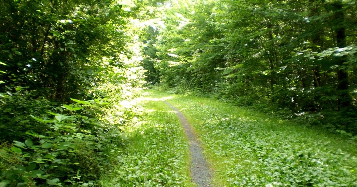
1:30 pm Interpretive HikeJoin Dave Greschner and Superior Lobe Chapter volunteers on a hike along the Tuscobia Segment of the Ice Age Trail. Between CTH-SS and the town of Brill, the segment links the terminal moraines of the Superior Chippewa Lobes as it crosses their outwash plain. Event Location: Meet at the Tuscobia Trailhead on CTH-SS [map]. |
Directions to the Tuscobia Trailhead on CTH-SS: From Rice Lake, at the intersection of STH-48 and CTH-SS, take CTH-SS north 4.5 miles. A large parking area for the Tuscobia State Trail, with a kiosk and restrooms, is on the right side of the road. |See Google Map| View the Trailhead on the Hiker Resource Map|
Download Trail Fest event poster [PDF].
** History: From Rice Lake to Park Falls, the Tuscobia State Trail travels 74 miles through the Flambeau State Forest and Chequamegon National Forest in northern Wisconsin. During its peak operation as the Omaha Line, 1 passenger, 1 freight, and 11 logging trains traveled out and back along the rails each day. As the logging industry declined, so did the railroad. After the line was abandoned in 1965, local resident, Hulda Hilfiker, led the drive, persuading neighbors and the State of Wisconsin to convert the railway to a recreational trail. By 1966, her vision and efforts created the Tuscobia State Trail.
Questions? email Sue Greenway, smgreenway1@gmail.com