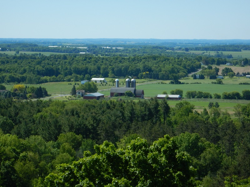
Photo credit: B. Bednarek, Parnell Segment, view from Parnell Tower
Did you know, world famous glacial landscape features are within an easy drive from your front door?
This might not seem like such a big deal until you consider that walking across the high ridge of an esker, or peering down into a kettle lake is a bit like time travel, giving you a peek into how the landscape of Wisconsin was formed.
Conveniently, the almost 30,000 acres of the Northern Kettle Moraine State Forest contains some of the most stellar glacial remnants of the last Ice Age. In fact, this region was formed as two tongue-shaped ice sheets collided, creating a valley of ice some 10,000 years ago. As these huge sheets of ice melted, the meltwater cascaded into crevasses carrying sand, gravel, and boulders, depositing them along the way. This is what shaped the rolling ridges and deep kettles – large crater-like depressions – that make up the topography of this beautiful forest.
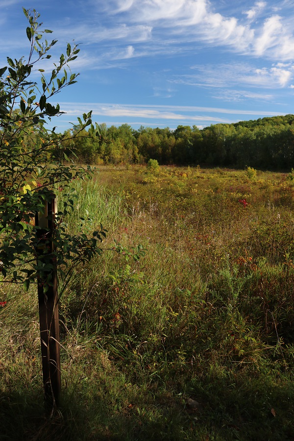
Photo credit: J. Painter, LaBudde Creek Segment
Many of these features might remain hidden in plain view if it weren’t for the Ice Age National Scenic Trail. It meanders, like a major artery, through the heart and soul of Kettle Moraine highlighting glacial features such as the 4-mile-long Parnell Esker whose ridge provides a lovely view of Butler Lake; Greenbush Kettle, one of the most symmetrical deep depressions in the area; or the Dundee Kame, an intriguingly shaped, conical hill.
Fortunately, for many living in the Badger State, access to these notable glacial features is as easy as driving to a Trail head parking lot, lacing up sneakers or hiking boots, donning sunglasses and sunscreen, grabbing a bottle of water and heading out on an adventure.
To keep it super simple, courtesy of the Ice Age Trail Alliance, included are several detailed hiking maps straight from the Ice Age Trail Atlas to give you an introduction to the Atlas and to give you a taste of popular Ice Age Trail Segments within the Northern Kettle Moraine State Forest.
Atlas Maps:
Parnell Segment, maps 87f and 88f
Greenbush Segment, maps 89f and 90f
LaBudde Creek Segment, map 90f
Itineraries:
For those of you who want to extend your time on the trail, perhaps with a long weekend, or if you are planning a Wisconsin stay-cation, we’ve set up some itineraries for some of our favorite day hikes and backpacking trips on the Ice Age Trail, sorted by region, including ideas for lodging and food.
To access the itineraries focusing specifically on the area which includes the Northern Kettle Moraine State Forest (and the surrounding region), you will want to select the options listed under the East Central Region.
These itineraries were made possible through a Department of Tourism grant. Consequently, when you select an itinerary detailing Day Trips, Family-Friendly Hikes, or those for the Avid Hiker, you’ll be asked for your email address – this information helps us properly track downloads for grant purposes.
Trail Expeditions:
Another opportunity to take a step back in time on the Ice Age Trail is during the first week of October. Rekindle your spirit of discovery and wake up your imagination as renowned experts lead you on a Trail Expedition through the wonders of the Northern Kettle Moraine.
Happy Trails!
Pingback: Snowshoeing the Ice Age Trail - Wisconsin Travel Best Bets
Pingback: Best Hidden Places For Wisconsin Fall Colors [2023] - Lori Loves Adventure